- Mileage:
2.5 mile
- Elevation:
+800ft
- Highest Elevation:
10322 ft
- Park:
Stanislaus National Forest
(California, USA) - Trail(s):
Off Trail
- Starting Point:
Upper Lewis Lake
- Ending Point:
Granite Dome Summit
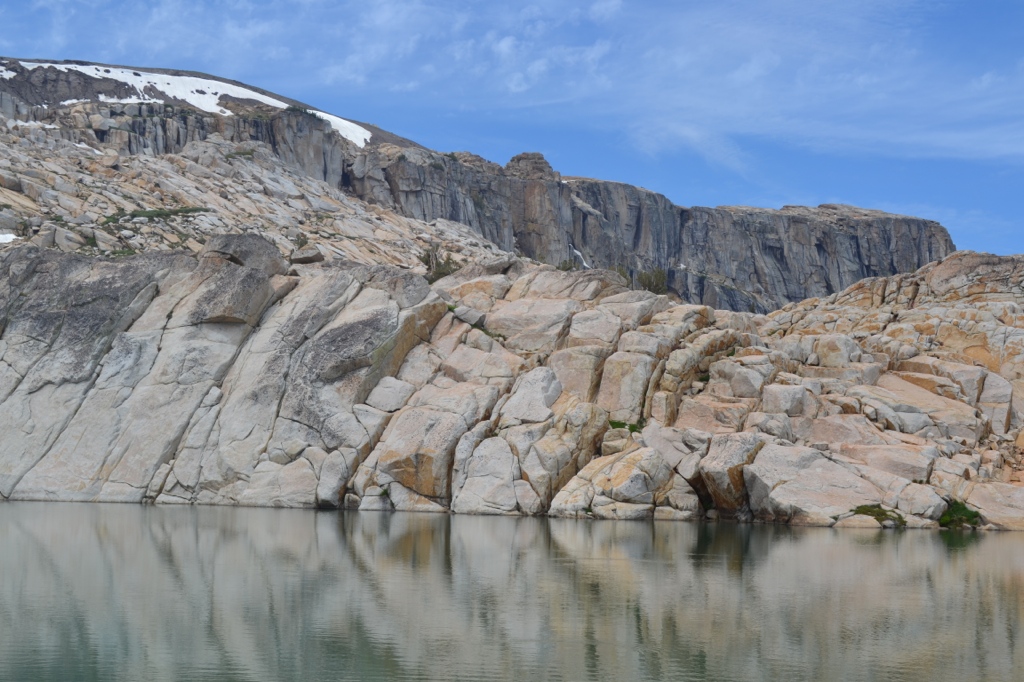
The hiking route described here starts at the north end of Upper Lewis Lake (which happens to be a fantastic campsite). The hike itself is not long (only about 2.5 miles round trip) but it takes time to find a safe route up and go around sheer walls. We took a look at a topo map before setting off and generally aimed for a route between snow fields, re-adjusting as needed based on boulders. We were able to reach the summit with no worse than some minor scrambling.
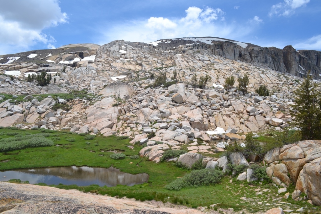
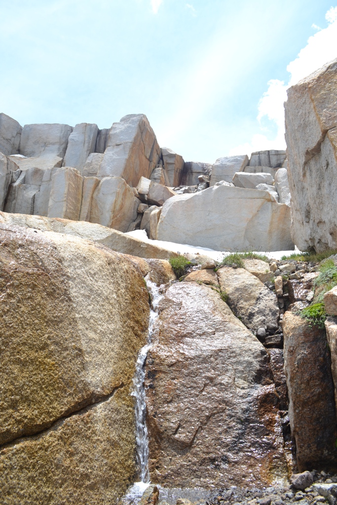
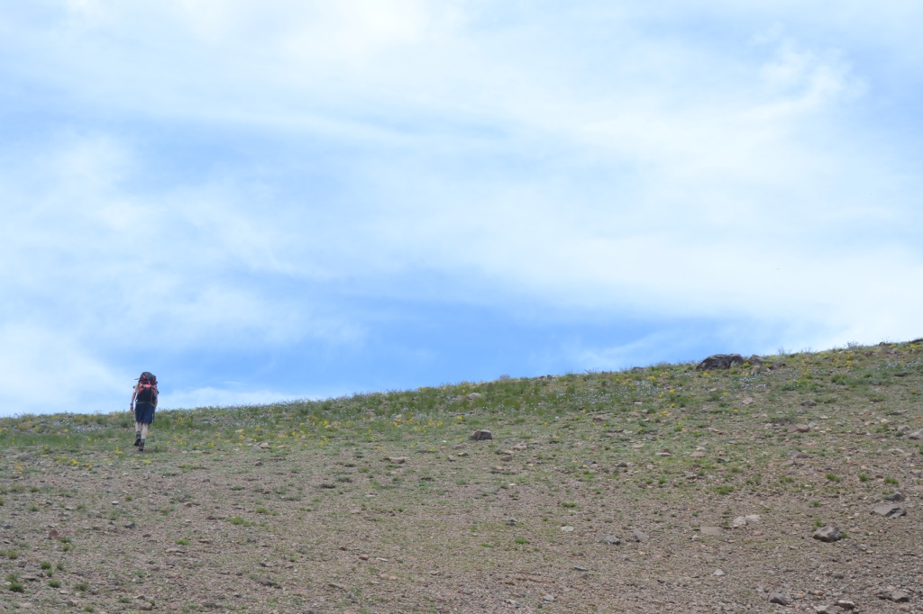
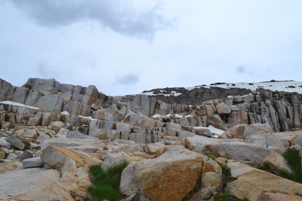
We took a route southwest from our campsite, over a small hill and immediately came to a lush meadow. There was a convenient path of stones across to avoid the marshy soil. The next section was a pretty straightforward walk to the base of the steep boulder section. We surveyed the wall in front of us and aimed for a spot in the middle where the boulders dipped down below a large hill of dirt and snow. This part required a bit of scrambling and rock climbing but nothing too serious. Once we got to the top of the rocks we headed left/east to a very gradual section to reach the ridge.
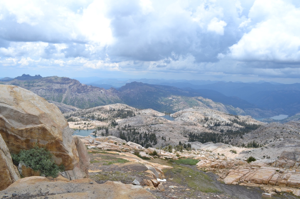
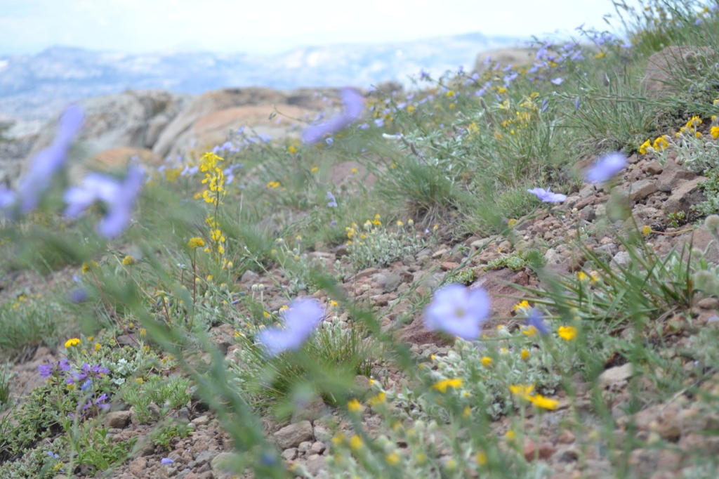
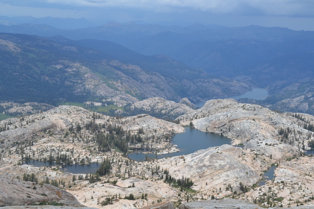
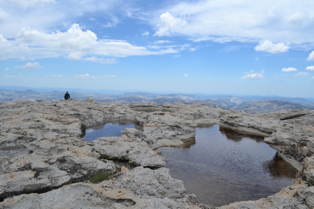
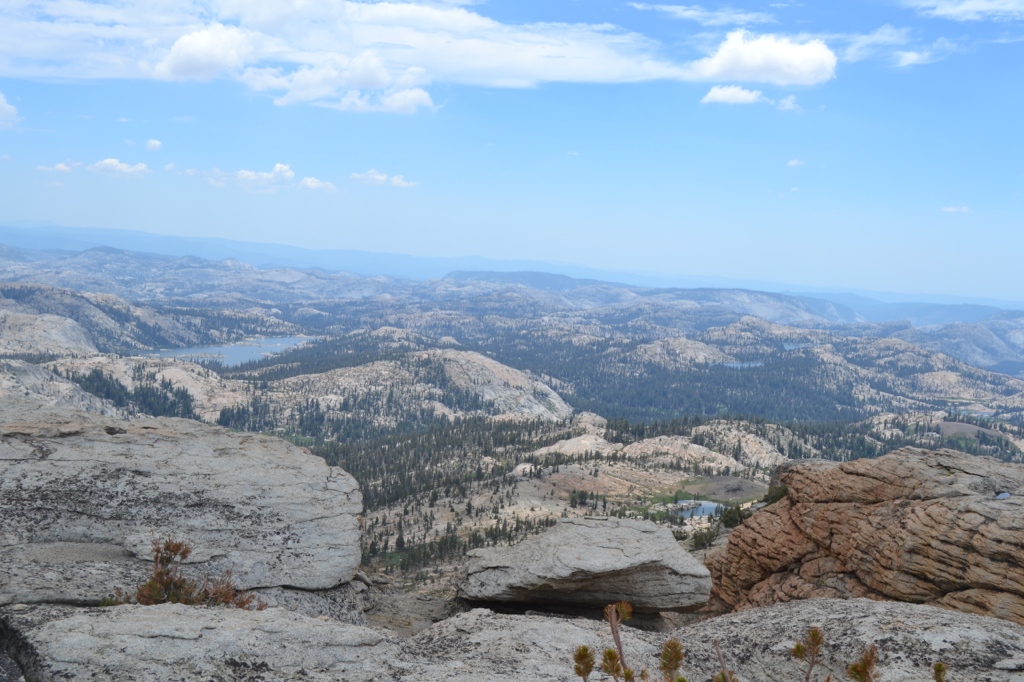
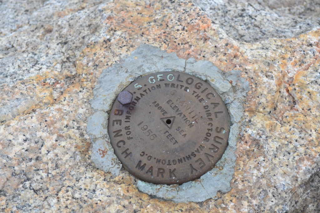
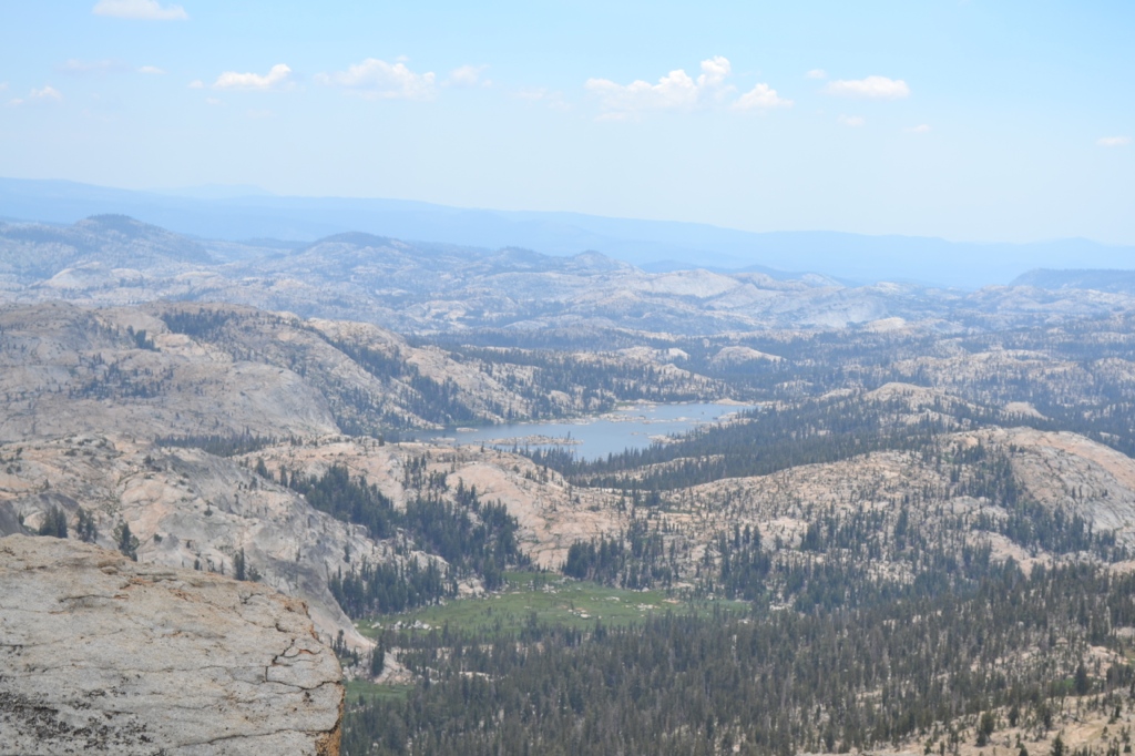
At this point I thought we must be close to the summit but that’s not the case! The landscape changed drastically and we were walking across an alpine flower meadow, west along the ridge. We crested a hill and saw that the ridge continued on further. The actual summit of Granite Dome is on the far west side. Dark clouds were gathering overhead so we hiked quickly across the ridge and found the summit marker. With recent rain the peak was covered in large puddles resembling tide pools. We had complete panoramic views of Emigrant Wilderness. On the north side we could see Relief Reservoir and each of the lakes below: Iceland, Ridge, Sardella, and Lewis. To the south we saw an endless wilderness of lakes and peaks that we have yet to explore!
We found a similar route back down to our campsite just as a small rain storm hit. We ducked back into our tents just in time!
Photo gallery
Click the thumbnails to enlarge. Scroll through the gallery using keyboard or mouse.