grand canyon south rim loop
Jump to: Permit / Getting There / Map / Comments / Helpful Links
Description
Believe it or not, a day hike on the Bright Angel Trail is the reason I backpack today. My first trip to the Grand Canyon was with a group of friends in college. We reserved a car camping site at the Mather Campground and did a couple day hikes along the South Rim and one on the Bright Angel Trail to venture into the canyon. We adhered to the warning signs about not attempting to reach the river in one day but I remember a heavy feeling of disappointment when we turned around for the day to head back up to the rim. Maybe it was facing all of those switchbacks on the way up… but the idea of hiking down to the bottom carrying everything I needed to spend the night and see the Colorado River really stuck with me. A year later I purchased some gear and went on my first backpacking trip since I was a child, in Sequoia National Park. And soon after that I returned to the Grand Canyon to finally see the Colorado River up close!
Our mileage for this trip was relatively low compared to other backpacking trips, just 16.6 miles over 3 days. However, it’s really easy to overestimate your abilities on this hike because the return trip out is steep (over 4800’ gain up the South Kaibab trail) and the canyon can get extremely hot. The South Rim elevation is around 7000’ as well. This is unlike most hikes in that you start off going comfortably downhill and it’s easy to forget how difficult the return trip can be. Based on all of that, I think this is a great option for a 3-day backpacking trip because you can hike two of the most popular and scenic trails on the south side of the Grand Canyon, relax at Phantom Ranch along the river, and squeeze in a sunset hike at Plateau Point. All while giving yourself plenty of time to hike each day.
The page below contains information for planning this hike, itinerary and photos from our trip, and a map of the trails.
Itinerary
Day 1: South Kaibab Trail to Phantom Ranch (7 miles, -4780’)
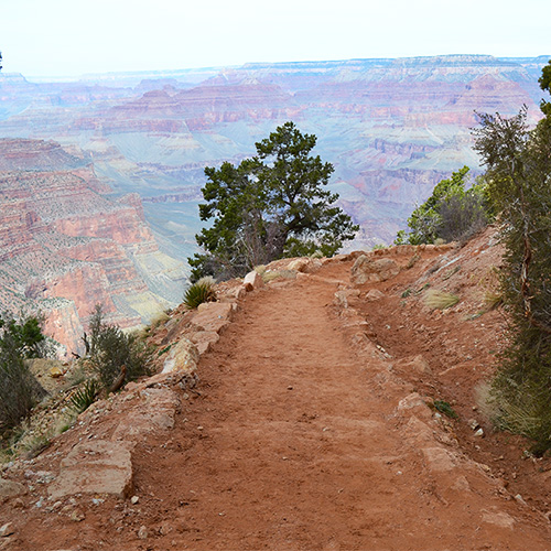
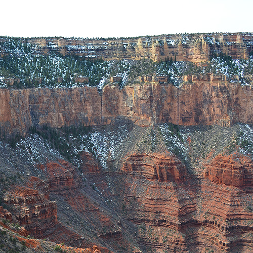
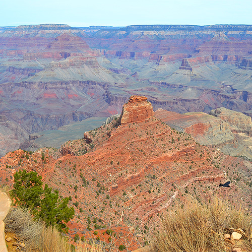
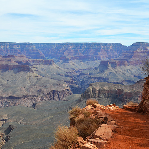
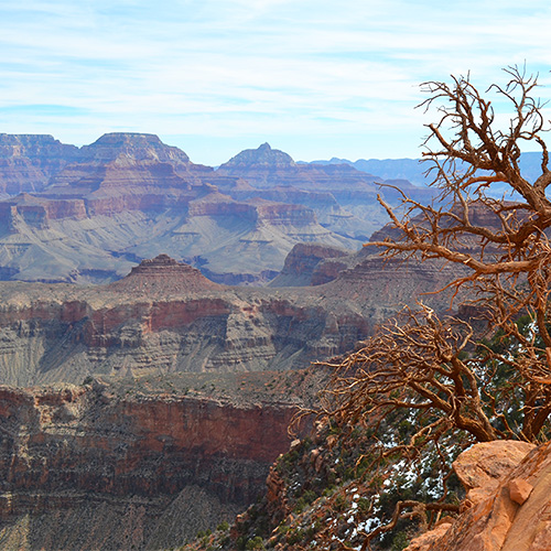
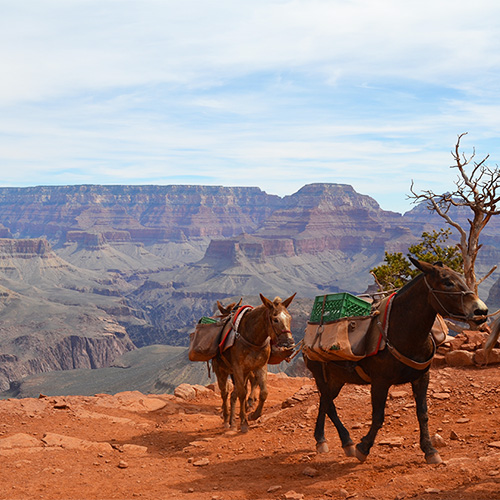
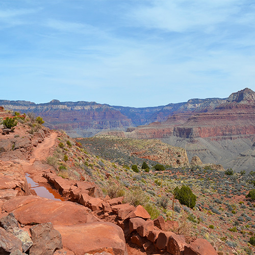
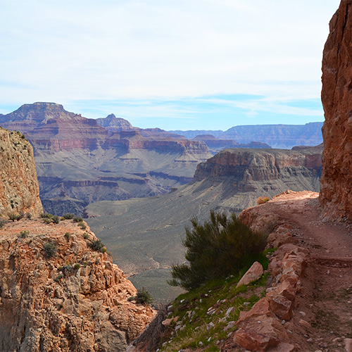
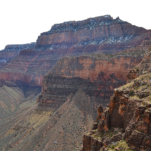
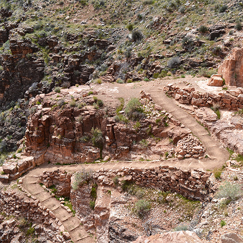
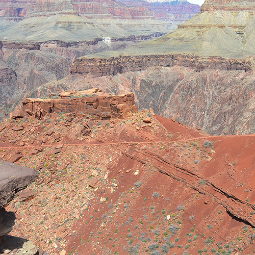
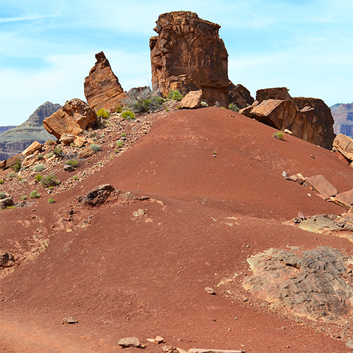
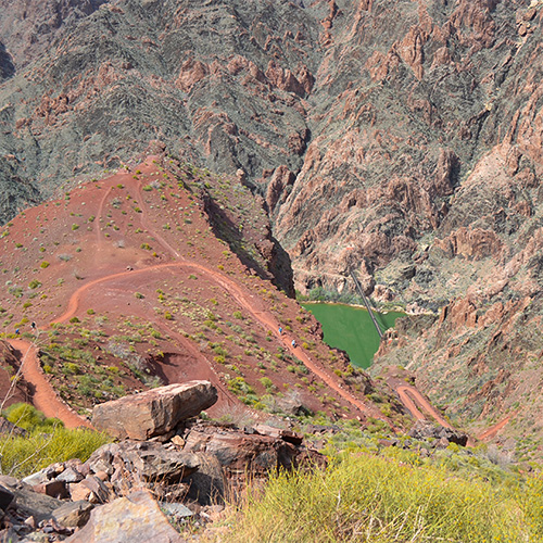
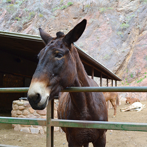
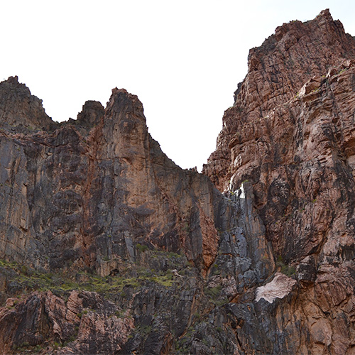
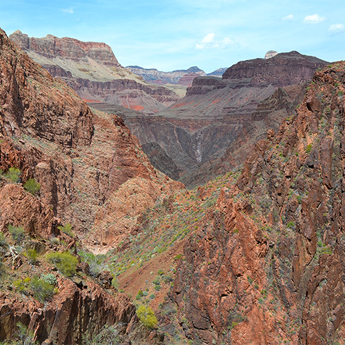
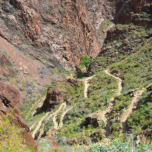
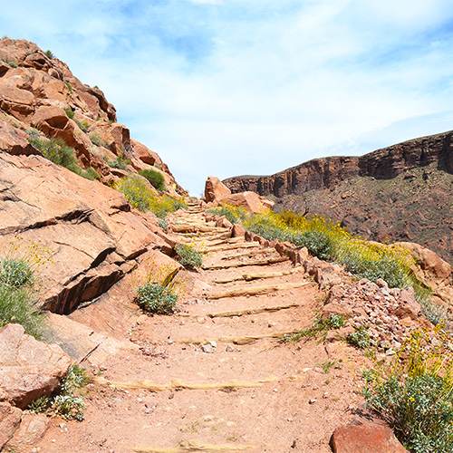
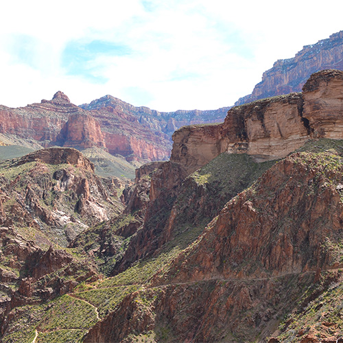
We set off from the South Kaibab Trailhead and entered the canyon after a night of car camping at Mather Campground. It was late March so there was still some snow at the top of the rim, but nothing that was a problem for us with regular hiking gear. The trail was almost completely exposed the whole way down but that gave us panoramic views of the entire canyon. Photos and descriptions really don’t do the view justice! We switch backed down dusty red terrain and found ourselves at the same elevation as some of the nearby plateaus, layered with colorful sediment. We waited for a mule train to pass at Cedar Ridge (1.5 miles into the hike), enjoying the canyon views. The trail is pretty luxurious – there are bathrooms at Cedar Ridge, Tip Off, and the Bright Angel Campground!
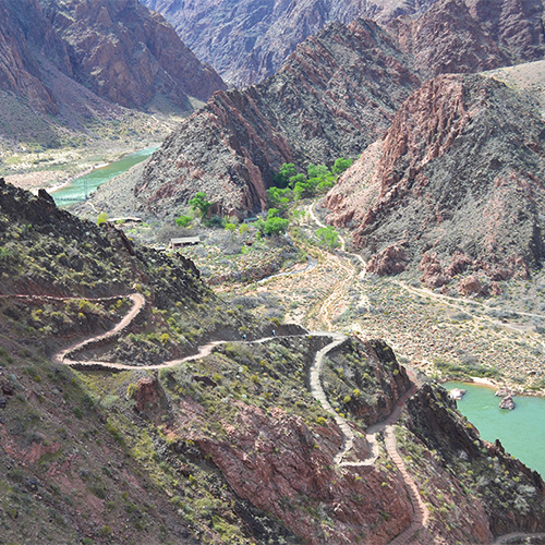
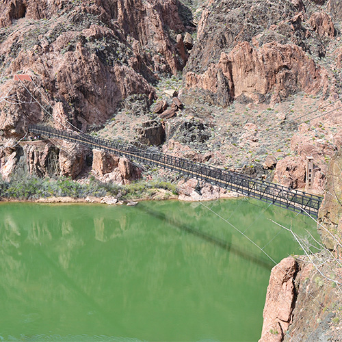
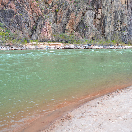
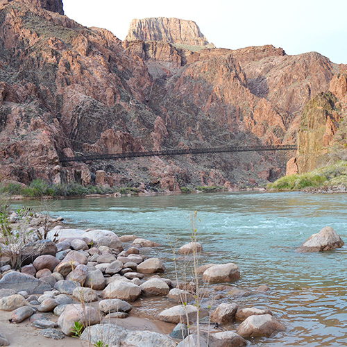
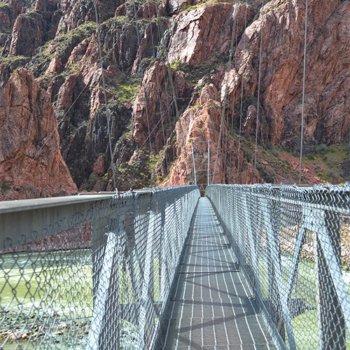
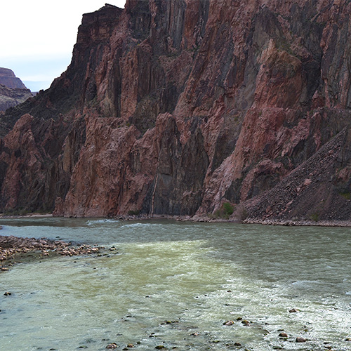
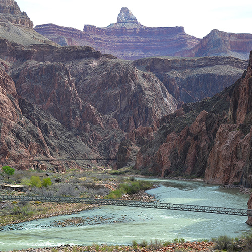
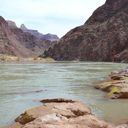
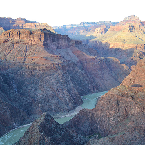
We continued down the trail to Skeleton Point, almost 2000’ lower than our starting point on the South Rim. After that we got a mini peek at the Colorado River, still so far below us! I loved the contrast of red earth against the turquoise river below. Many switchbacks later we got a view of the bottom of the canyon and the small valley containing Phantom Ranch and our campsite for the night. When we reached the river we crossed a long suspension bridge taking us to the campground which was along a small creek. I was surprised at the amenities at Phantom Ranch – running water, real toilets, and we even bought some beers after picking our site for the evening. We sat along the sandy shore of the river for sunset before cooking dinner.
Day 2: Phantom Ranch to Indian garden (4.7 + 3 miles, +1320’)
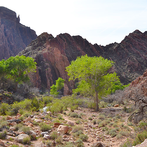
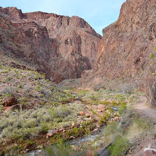
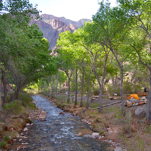
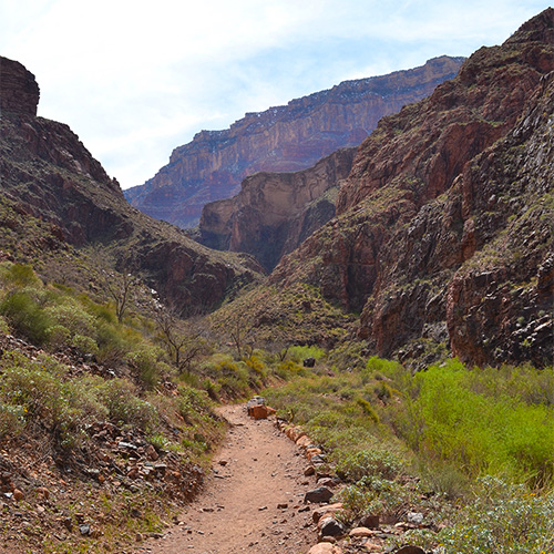
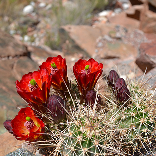
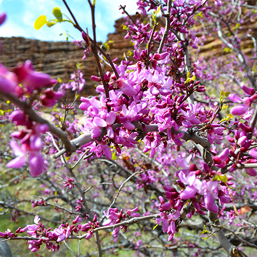
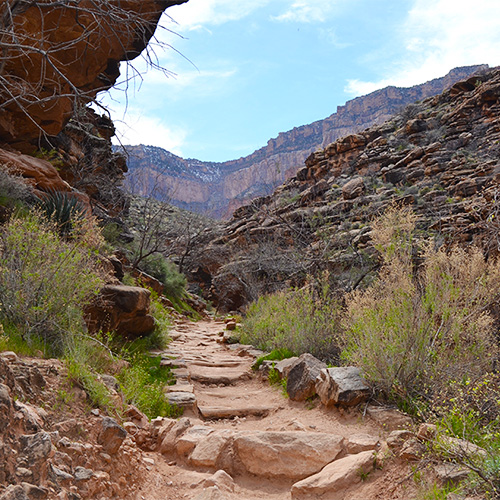
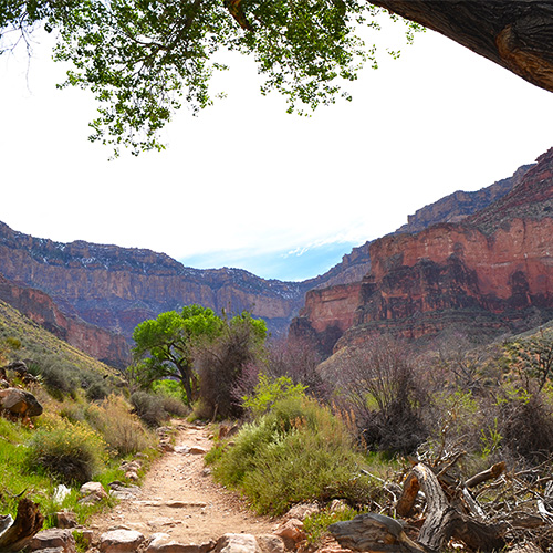
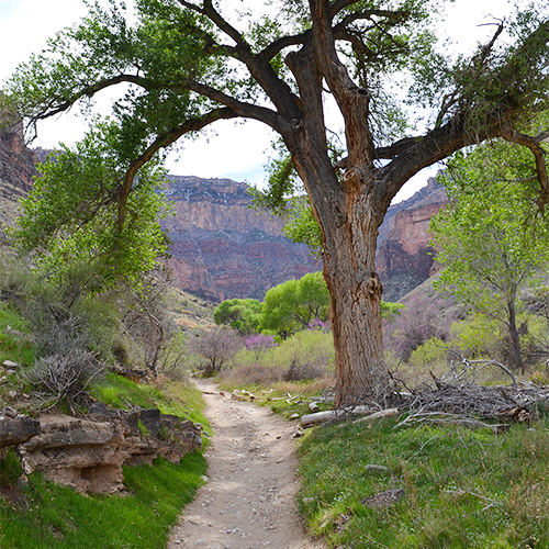
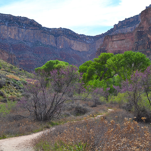
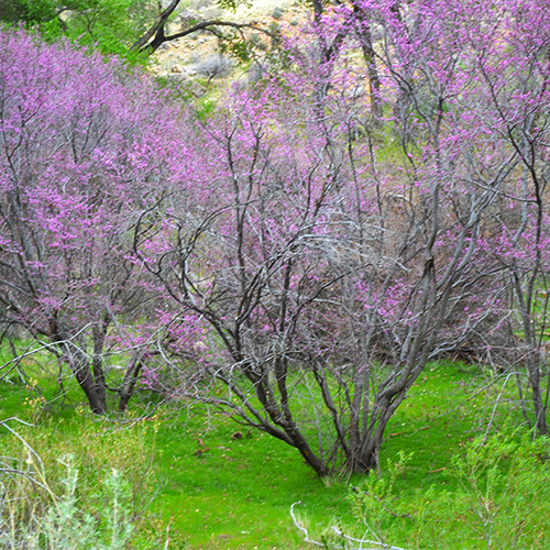
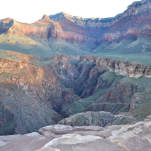
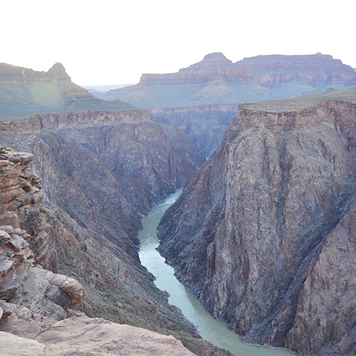
Our second day on the trail was fairly short but we started the climb back out to the South Rim. We left the Bright Angel Campground, crossed a small bridge, and followed along the Colorado River for 1.5 miles to the River Resthouse. We took in the last up close views of the river and started up the narrow and rocky canyon toward Indian Garden. Our next campsite appeared like a mirage, and definitely lived up to its name. We were greeted by bright purple flowers, sprawling cacti, and shady trees.
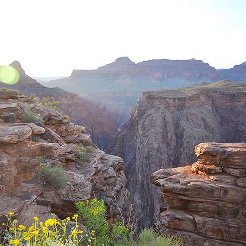
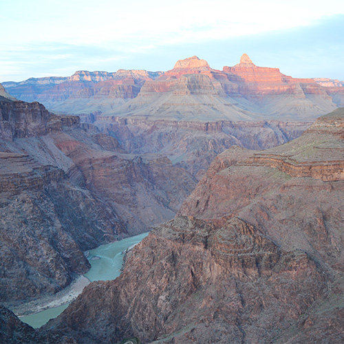
We had plenty of time in the afternoon to setup our campsite and even attend a ranger talk where we learned about wildlife native to the Grand Canyon. The rangers at Indian Garden organized a sunset hike to Plateau Point, which ended up being an extra 3-mile roundtrip hike to a cliff overlooking the river. We were fortunate to have a visit from a local California Condor as we watched a very colorful sunset over the river. I highly recommend this extra hike if you have the energy!
Day 3: Indian garden to Bright Angel Trailhead (4.9 miles, +3060’)
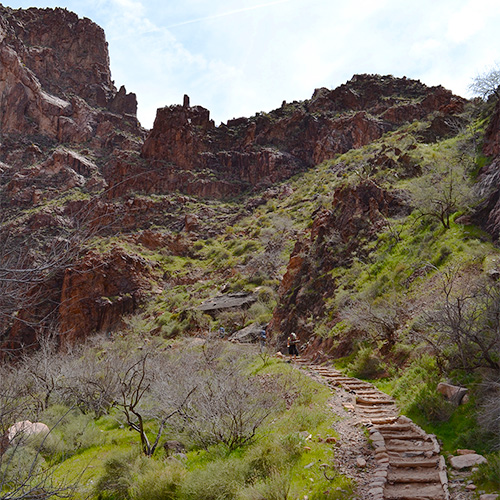
Our final day on the trail was a little painful – the only way to go was up and out! We left our shady haven in Indian Garden and headed straight up the valley between two plateaus. The trail soon turned into relentless switchbacks, gaining thousands of feet of elevation. Fortunately, the Bright Angel Trail has two rest houses that are 3 miles and 1.5 miles from the top. They have rest rooms and seasonal water so make sure to check if you can expect water beforehand. This is a very popular trail so we started to encounter a lot of day hikers as we neared the South Rim. It felt amazing to reach the top and return to flat ground! I can’t wait for our next trip to the Grand Canyon and I’m hoping to explore the North Rim soon too.
Logistics
This backpacking trip is pretty straightforward to plan once you have a permit. Both trailheads are on the South Rim of the Grand Canyon and connected by a free shuttle so there’s no need to worry about trailhead logistics.
Permit
A backcountry permit is required for this trip and a majority are reserved in the “Earliest Consideration” window. This is a lottery process in which you must submit an application before 5PM MST on the 1st of the month which is 4 months before the month of your trip. Permits may be submitted as early as the preceding 20th. For example, if you’d like to start your hike in June your permit would be submitted between Jan 20 and Feb 1. The day of your trip and the day when the permit was received do not matter, all applications are mixed up and drawn randomly. Notifications are sent out and can take up to 3 weeks. If that was confusing, the permit information page link below has a handy table!
If you do not receive a permit through the lottery process you have a few options:
- Check the corridor availability page for open space and act quickly
- Submit a subsequent request in case space is available
- Get on the in-person waitlist the day before your trip. Note that your waitlist number will improve each day
The cost is $10 per permit and $8 per person if your permit is accepted.
getting there
For our trip we drove to the Grand Canyon from Los Angeles in about 8 hours. It was a long day of driving but we had a car camping spot reserved so we could get a full night of sleep before our backpacking trip began.
The turnoff for the Grand Canyon South Rim from I-40 is AZ-64 N which passes the South Entrance Ranger Station after about an hour. Once inside the park there are various view points and trails at the canyon rim, as well as visitor’s centers and campgrounds.
There are several parking options depending on when you arrive, but everything is connected with a free shuttle which makes it easy to travel between permit stations, breakfast, and trailheads.
See links for more details on reserving a car camping site and using the free shuttle.
Recommended Reading
National Geographic Trail Map
Always carry a map! This folded map covers both the North and South Rim of the Grand Canyon.
>> Click here for my gear recommendationsSeason
Temperatures in June through August often exceed 100F and can even reach over 120F. It is extremely dangerous to hike in the Grand Canyon in these conditions so make sure to check the weather before beginning your hike. Because of this, March – May are more popular months for hiking. Fall can be a good time to visit as well, before the winter snow. Follow the link for “Weather Dangers” for more information.

Comments