DAY 22
/22220.8 miles
/220.8 miles (total JMT)- Daily Mileage:
15.0 miles
- Elevation:
+2200/-5400 ft
- Highest Elevation:
14505 ft
- Date:
August 19, 2016
- Park:
Sequoia National Park, Inyo National Forest
(California, USA) - Trail(s):
John Muir Trail, Mount Whitney Trail
- Starting Point:
Guitar Lake
- Ending Point:
Mt. Whitney Portal
- Landmarks:
Mt. Whitney Summit
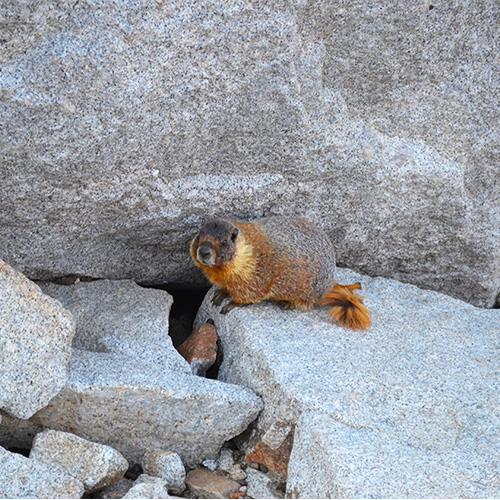
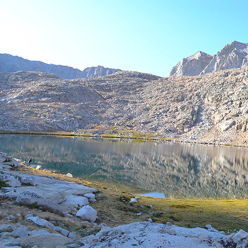
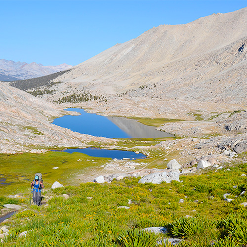
We were nearly the last group to leave Guitar Lake in the morning (same as we were last time on the High Sierra Trail!) but we still began our hike in the shade of Mt. Whitney. The chipmunks and marmots were having a party exploring all of the empty campsites for food as we left.
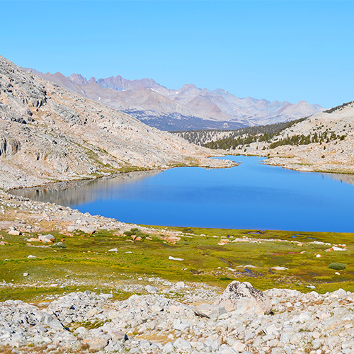
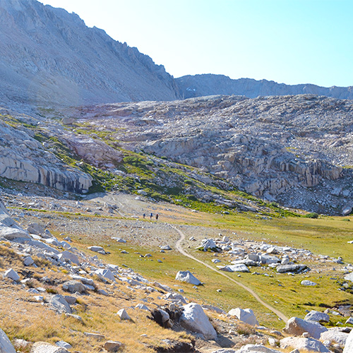
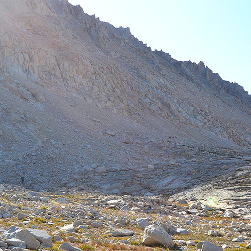
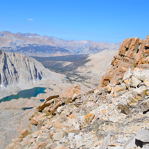
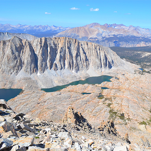
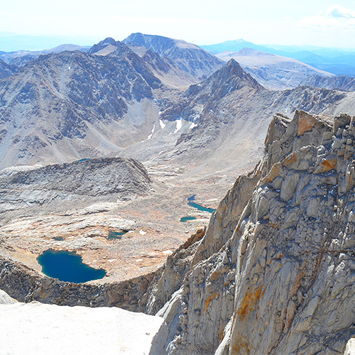
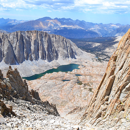
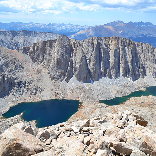
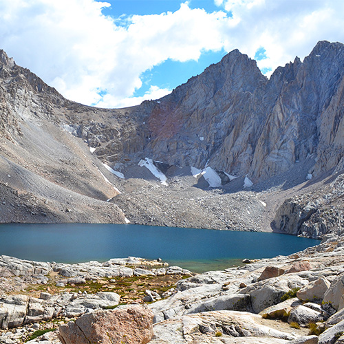
The trail headed east away from Guitar Lake and immediately began climbing over a couple ridges and meadows. The next section of the trail was entirely rocky switchbacks gaining elevation. We noticed a couple really epic tent sites on the side of the mountain protected by large boulders. As we gained elevation on the switchbacks the wide sloped top of Mt. Whitney came into view. Across to the west we started to level off with Mt. Hitchcock high above Hitchcock Lakes. This was one of my favorite parts of the HST a few years back – hiking until you become the tallest thing around and start to see the summits of all these mountains.
After one final switchback I finally saw our first major milestone – the junction with the Mt. Whitney Trail [208.4mi, 13460’]! At this junction all backpackers drop their packs to complete the last 4 mile out-and-back section to the summit. It is really important to take your food and bear canister out of your backpack before you leave because there are some fat marmots and chipmunks ready to tear into your gear for a snack! In fact, we saw this happening on our way back down and chased the marmots away.
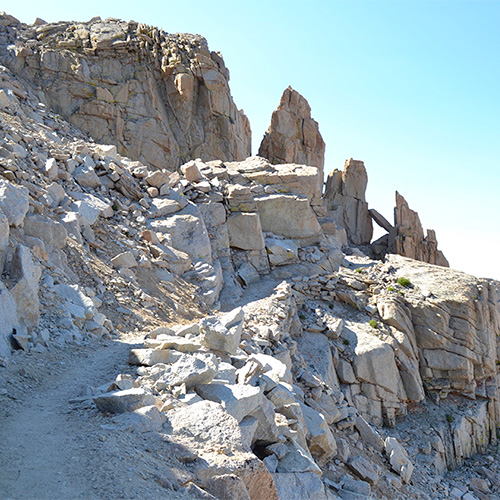
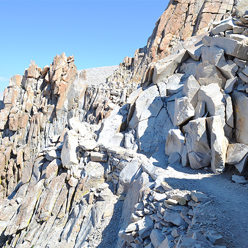
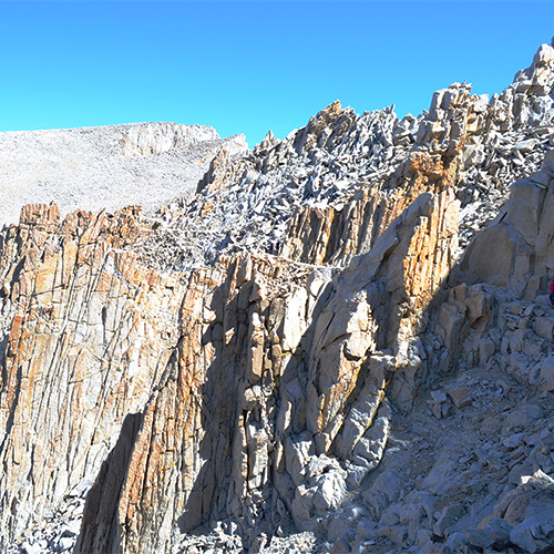
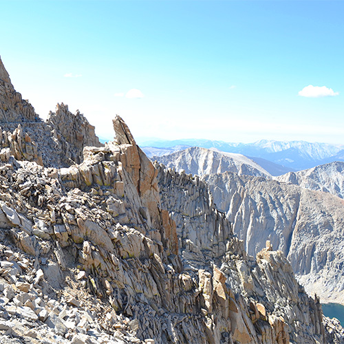
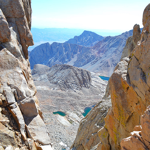
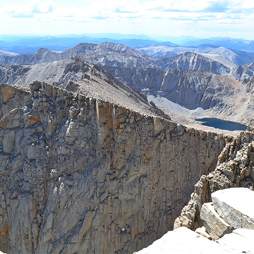
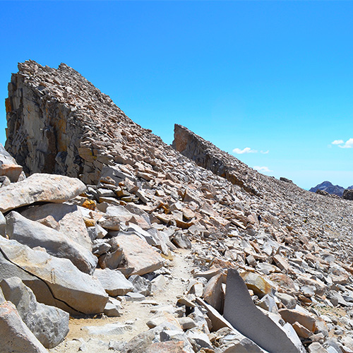
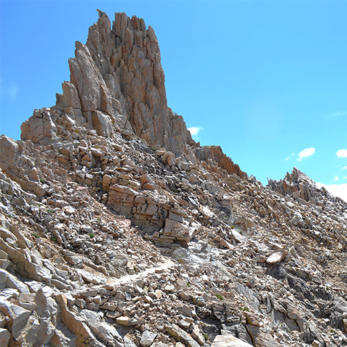
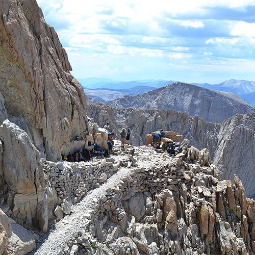
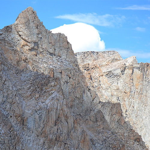
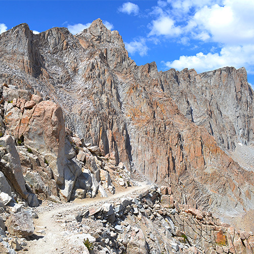
From the junction I carried only a water bottle, snack, and a warm layer. I felt incredible hiking without a heavy backpack on, even though we were at our highest elevation yet. I floated up a few switchbacks and then the trail headed directly towards the summit crossing in west of tall peaks with deep window views out towards the Portal. This section was full of sharp jagged mountains and copper tinted boulders. Once again I was shocked at how a trail like this could be maintained!
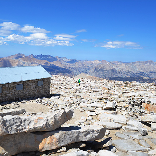
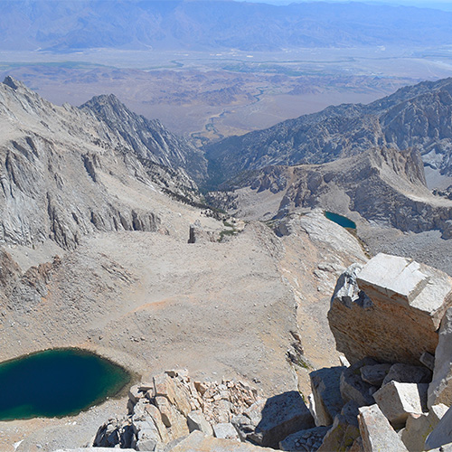
The final section contained several switchbacks up the backside of Mt. Whitney. I found a nice steady pace where I didn’t need to catch my breath, and soon I was happy to see the hut in front of me signaling the summit. We hiked beyond the hut to the true summit [210.4mi, 14505’] and took a nice long snack break followed by photos and signatures in the log book. We ran into lots of day hikers, backpackers, and other thru hikers completing the HST or JMT. I was so happy to have reached this point after dealing with a cold earlier on the trip – I wasn’t sure if I would even make it! I was sad that we were nearing the end of our hike but also started looking forward to a nice shower and a hot meal.
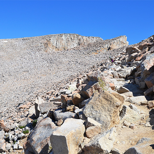
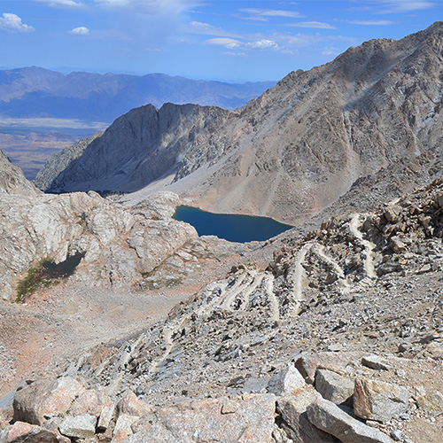
We returned to the Mt. Whitney Trail Junction and reluctantly put our backpacks back on. After a small uphill section, we reached Trail Crest [212.5mi, 13670’], a pass over to the east side of the mountain where we were faced with the infamous 99 switchbacks! A few clouds popped up over the Mt. Whitney summit making for an epic landscape as we dropped in elevation. On the way down I counted each of the 99 switchbacks which was kind of calming in a strange way. We took our lunch break at Trail Camp [214.7mi, 12040’] where we filtered water one last time.
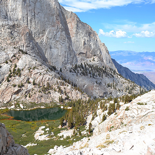
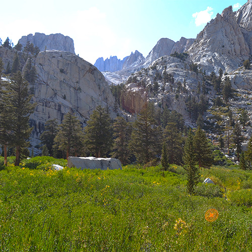
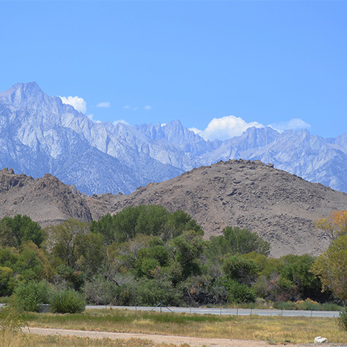
The final section was 6 miles downhill but as with our HST trip it felt incredibly long and steep. It was a little hard to appreciate but the Mt. Whitney trail is actually very beautiful – lush green meadows, lakes, waterfalls, ponds, and dense forests. We ran into a lot of hikers looking for campsites, asking how much farther to some milestone and I felt a little bad for them – that must be an incredibly difficult trail to hike uphill. Towards the end of the trail when I was growing very tired of the downhill I started to see cars parked at the Whitney Portal far below. The trail takes long gradual switchbacks so it’s a deceptively far hike still. I finally reached the Portal [220.8mi, 8330’] and weighed my backpack before we were picked up and returned to civilization!
Overall I absolutely loved our time on the John Muir Trail. Every day was beautiful, challenging, and unique. I wish we could have finished the entire trail in one hike without running into the Rough Fire but I’m thankful to have two separate trips to enjoy. At times I found the trail very painful and really struggled but I’m proud that we overcame the challenges and came out of it with fantastic memories and stories. I could not be more excited to recommend this trip (or any section of it) to any avid backpackers out there!
Photo gallery
Click the thumbnails to enlarge and scroll through the gallery.
