DAY 19
/22184.7 miles
/220.8 miles (total JMT)- Daily Mileage:
10.3 miles
- Elevation:
+2500/-2500 ft
- Highest Elevation:
11970 ft
- Date:
August 16, 2016
- Park:
Kings Canyon National Park
(California, USA) - Trail(s):
John Muir Trail
- Starting Point:
Middle Rae Lake
- Ending Point:
Center Basin Junction
- Landmarks:
Glen Pass
I didn’t sleep super well at Rae Lakes, probably because we were back up above 10,000’. I had a pulsing headache what felt like all night so I was worried when I got up that it would be a difficult day.
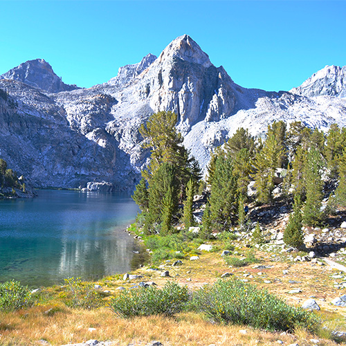
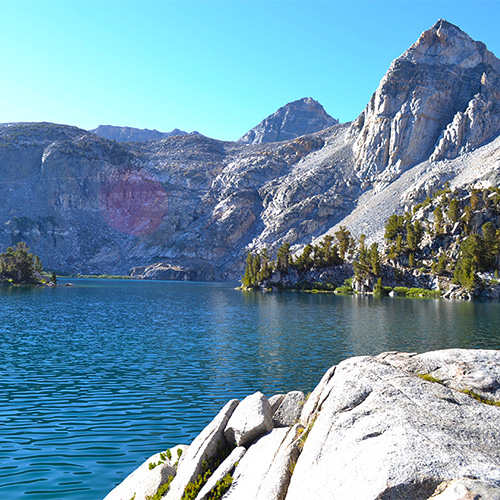
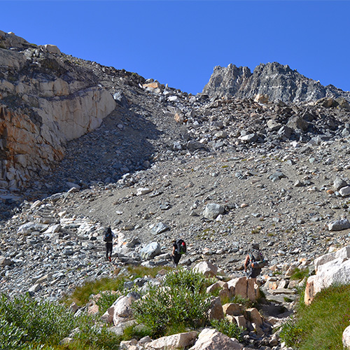
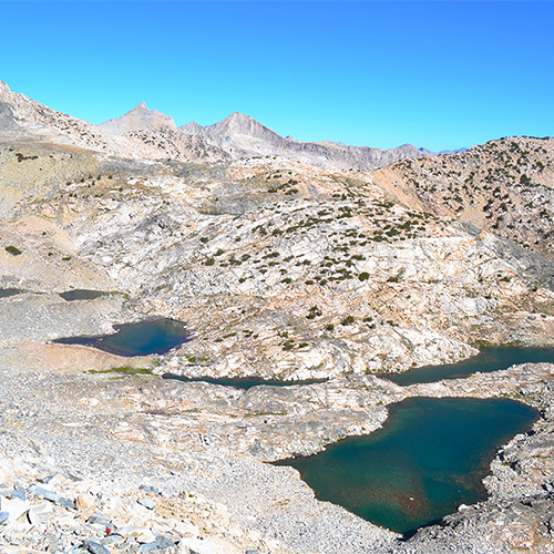
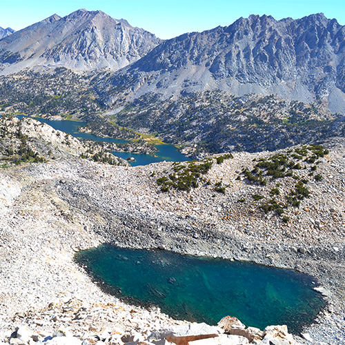
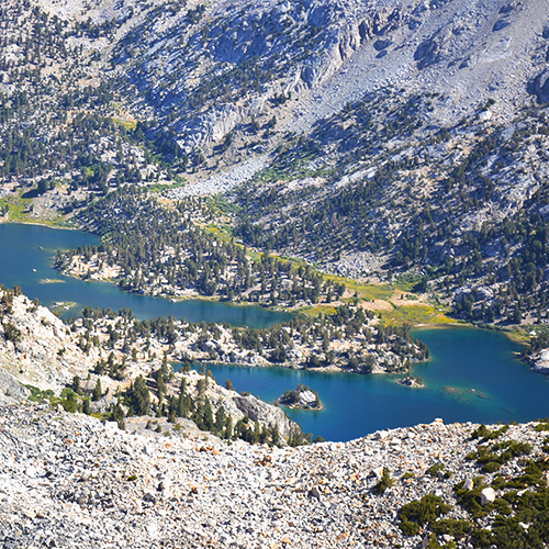
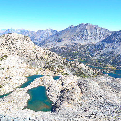
We hiked less than a mile around Middle Rae Lake and across a narrow trail between it and Upper Rae Lake – nice and gradual. We reached the Sixty Lake Basin Junction [175.4mi, 10560’] and started a 1500’ climb over the next 1.9 miles to reach the top of Glen Pass. I was hoping to see Bighorn Sheep that live in this area but had no such luck (or they were just too hard to spot). However, we had gorgeous views of the receding Rae Lakes as well as some high elevation ponds.
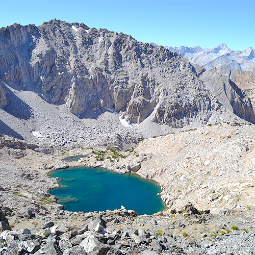
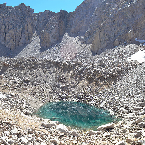
The switchbacks towards the top were tiring but I felt like I was falling back into my old groove. Just with more pauses to catch my breath! I devoured a ProBar at the top of Glen Pass [177.3mi, 11970’] before we continued down the other side. The view south was obstructed by a curved canyon with a turquoise pool at the bottom. We reached it after a number of downhill switchbacks.
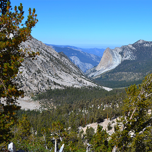
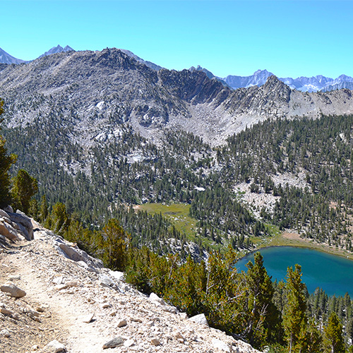
The descent felt good and the scenery was excellent. The trail wrapped out of the canyon with wide western views above Charlotte Lake. After a couple miles we came upon the Kearsarge Pass Junction [179.4mi, 10770’] and soon after the junctions for Charlotte and Bullfrog Lakes. After those junctions we got our first view across the large southern expanse before Forester Pass. We met for lunch at the bottom of the descending portion of Lower Vidette Meadows [181.2mi, 9550’].
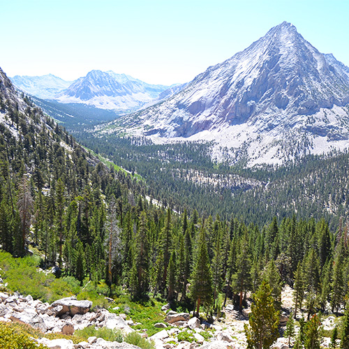
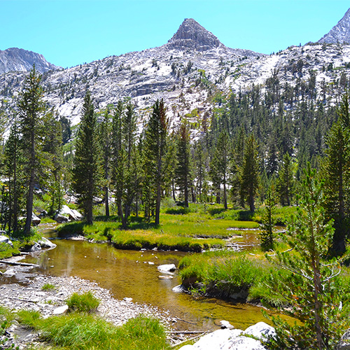
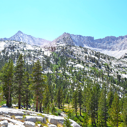
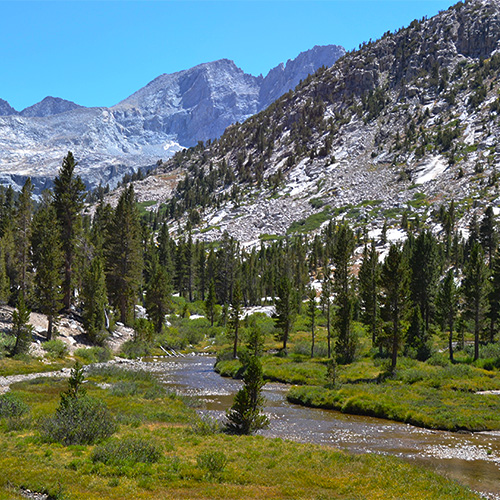
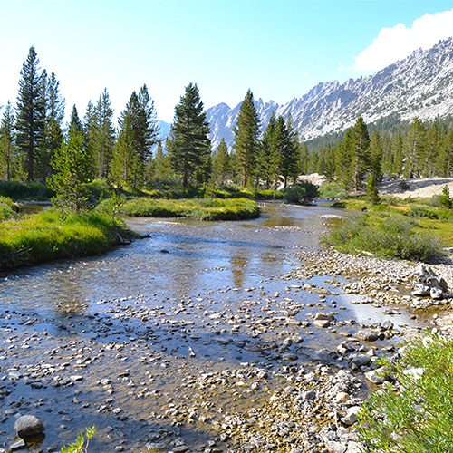
After that we hiked uphill for the rest of the day, which was the beginning of our final pass before Mt. Whitney, Forester! We hiked up about 1000’ over 3.5 miles so it was fairly gradual. I really enjoyed this part of the trail. It paralleled upper Bubbs Creek through two mountain ranges. The beginning was a pretty dense and dusty forest which became more sparse and exposed, but greener as we climbed.
We chose a glorious creek front campsite near the non-existent Center Basin Junction [184.3mi, 10480’]. This is an important note if you are looking for the junction! Instead look for the open campsite with a bear box just next to the creek. We actually went too far to the creek crossing but that campsite wasn’t nearly as nice so we hiked back down.
I went to bed feeling pretty good. Although I still had some congestion in my lungs it wasn’t too painful. Just in time for our biggest pass of the trip the next day!
Photo gallery
Click the thumbnails to enlarge and scroll through the gallery.
