San Bernardino Peak Trail
Jump to: Permit / Getting There / Map / Photos / Comments

Stats
- Distance:
15.8 miles
- Highest Elevation:
10649 ft
- Park:
San Bernardino National Forest
(California, USA) - Trail(s):
San Bernardino Peak Trail
- Starting Point:
Angelus Oaks
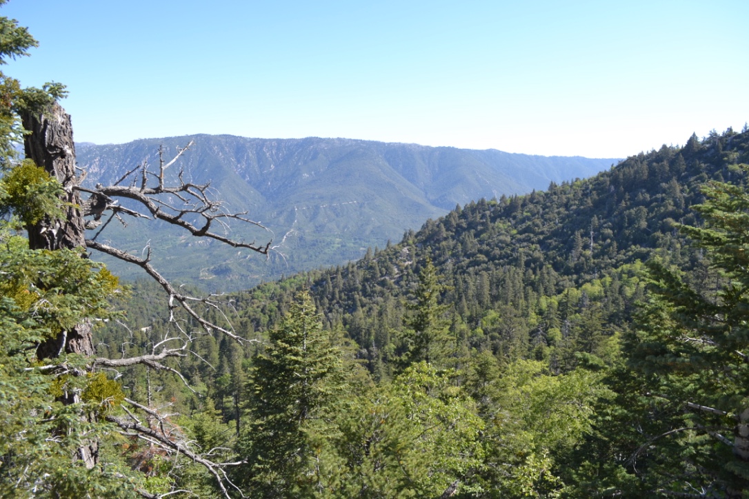
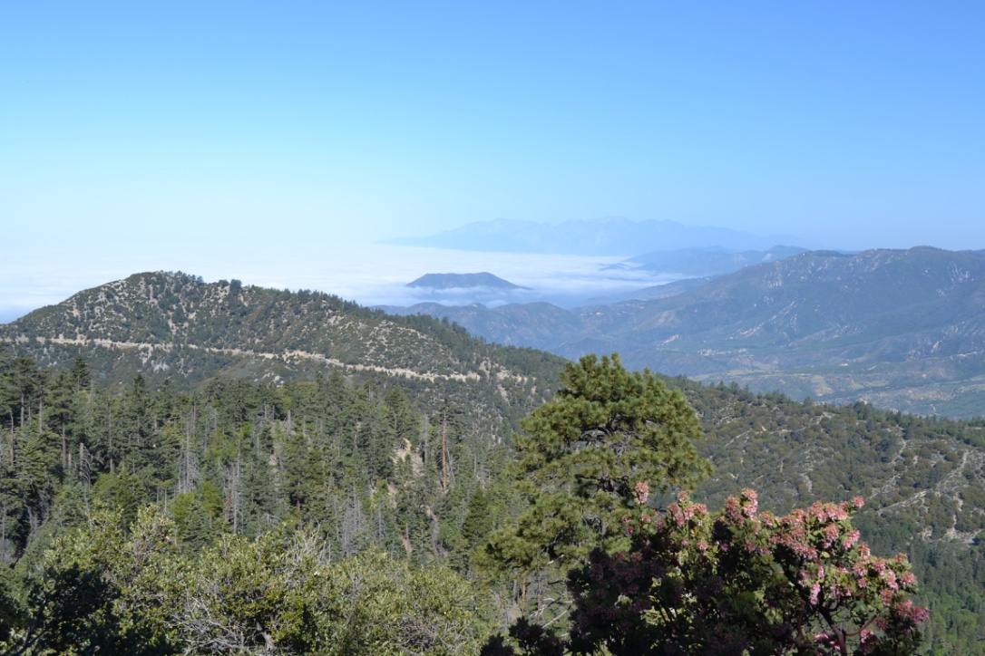
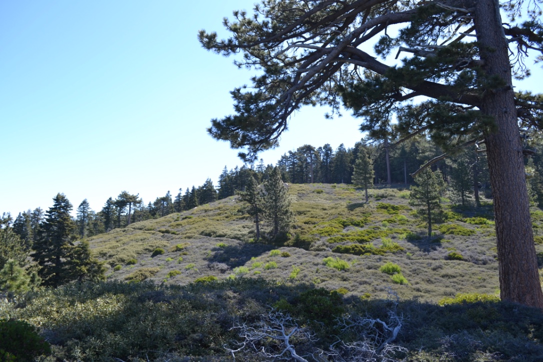
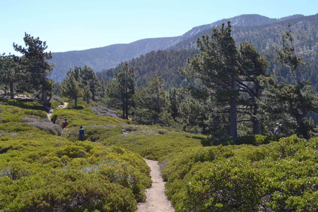
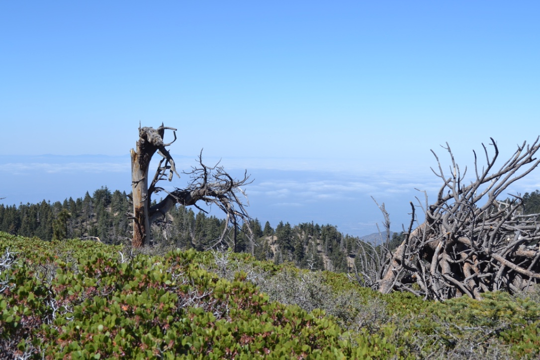
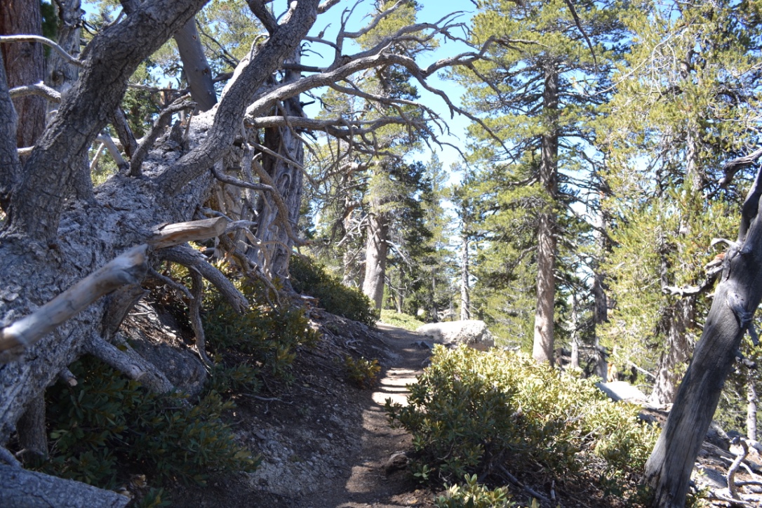
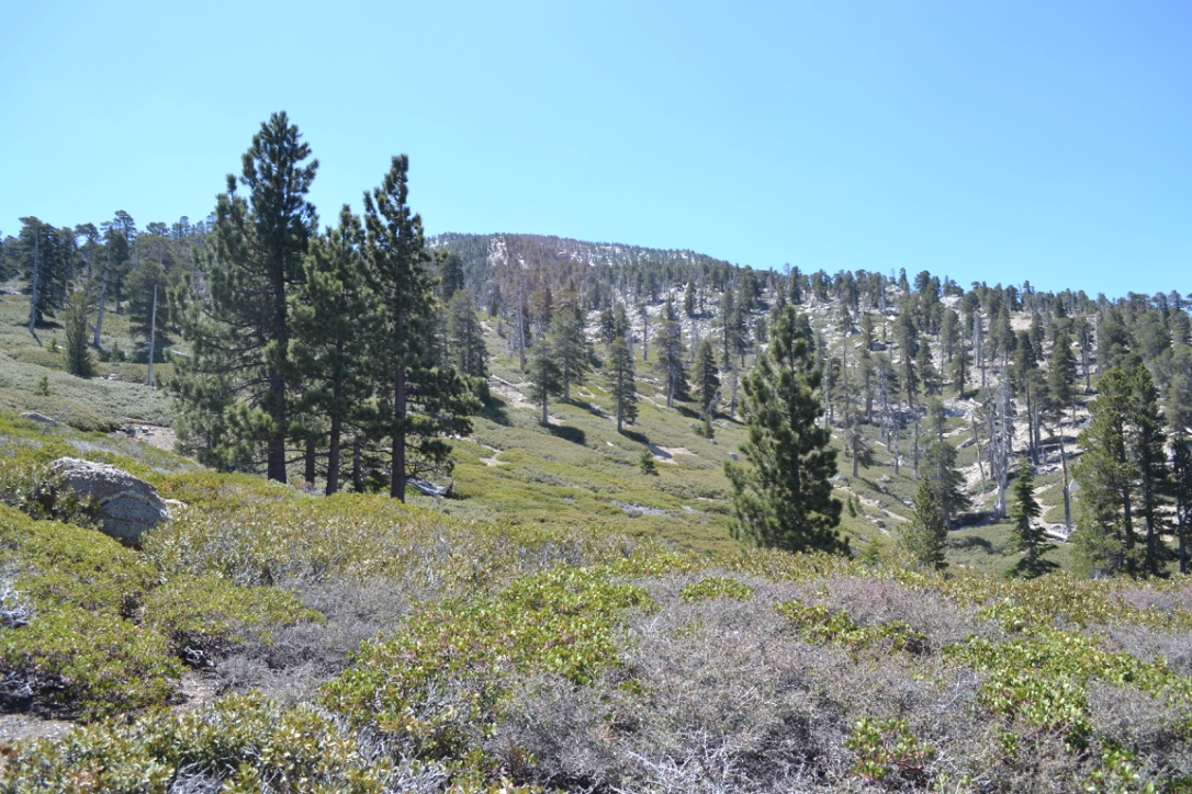
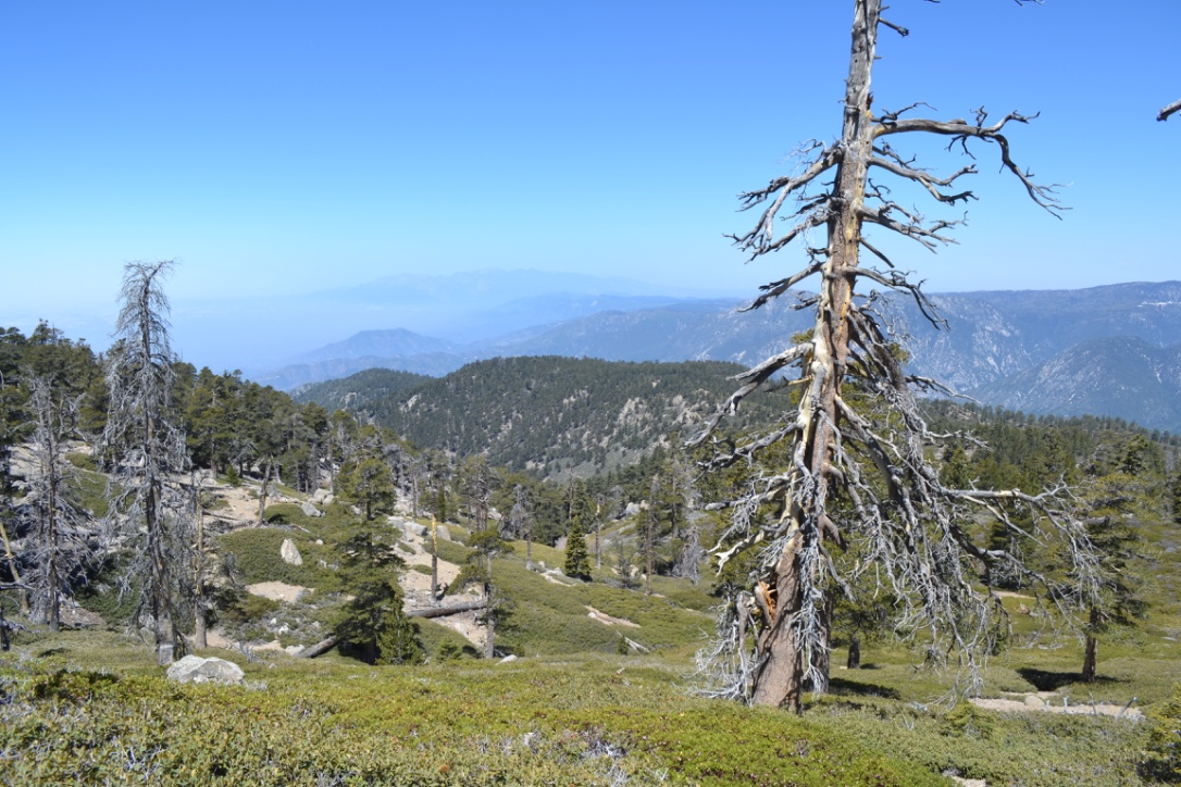
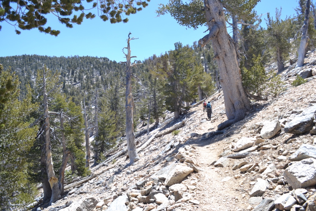
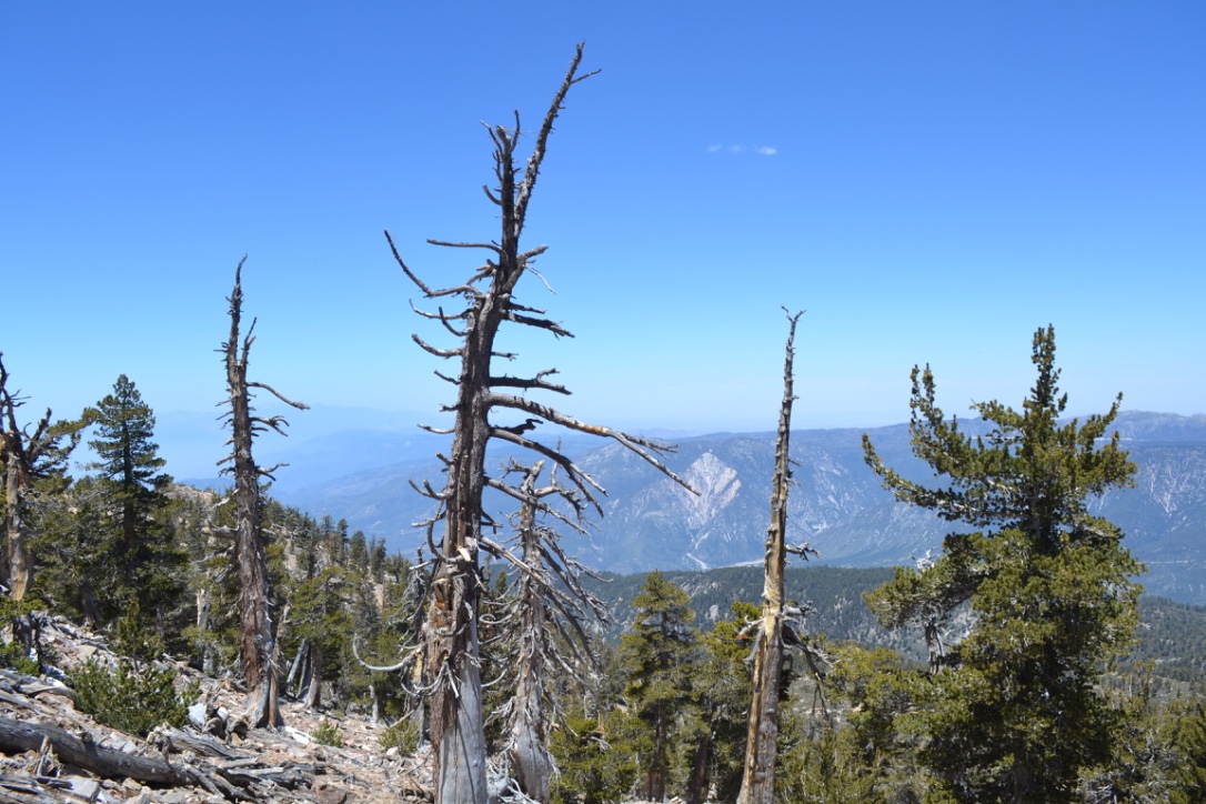
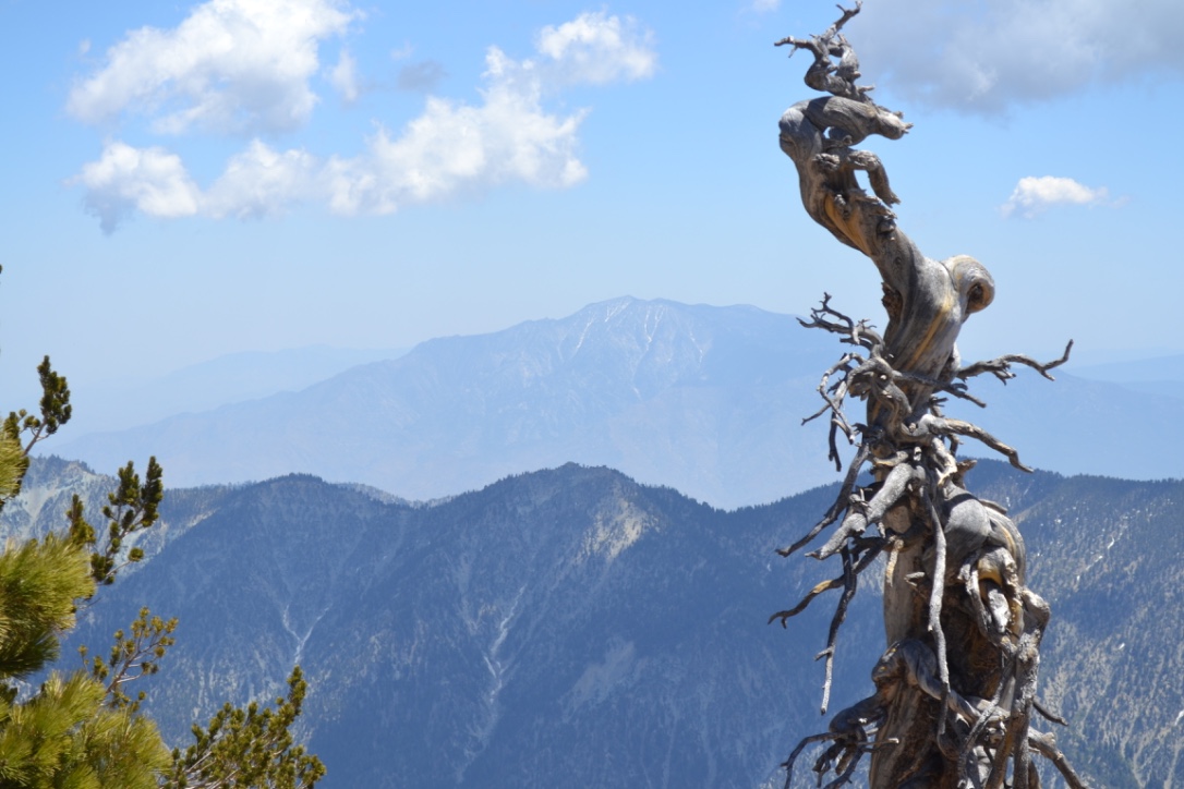
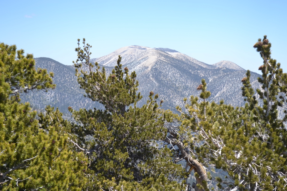
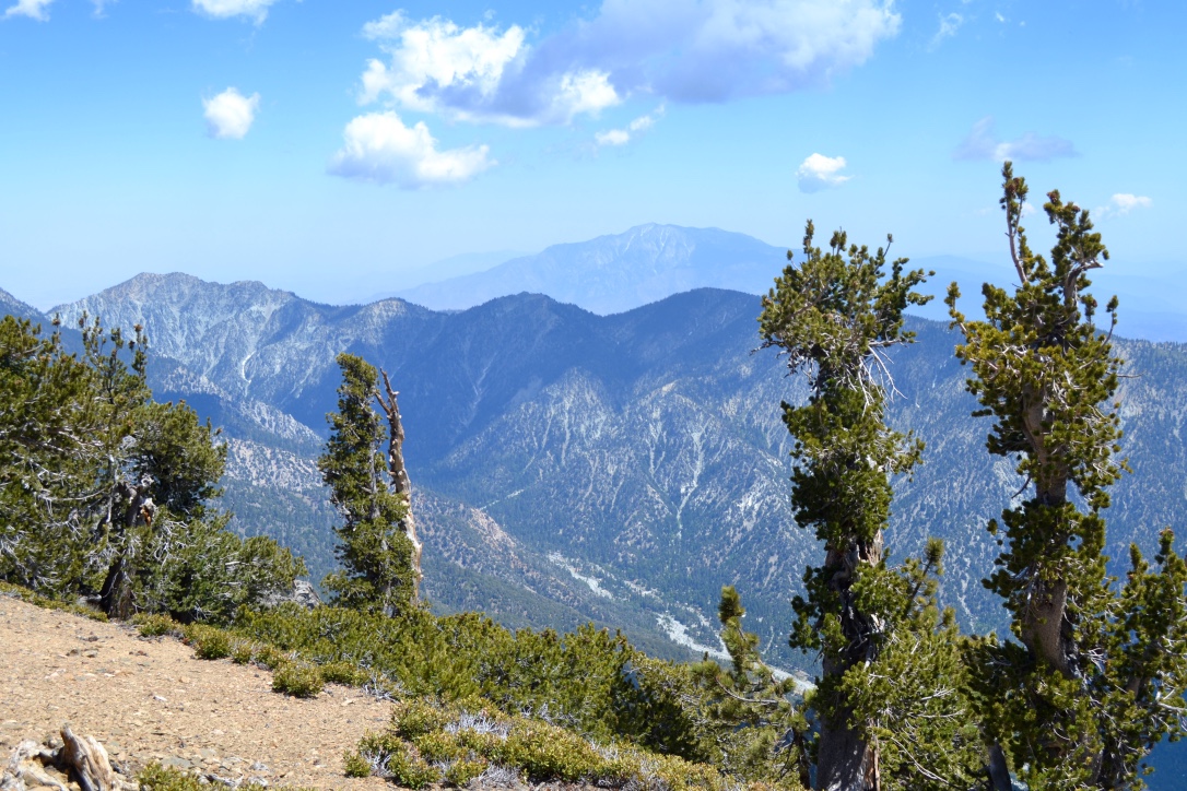
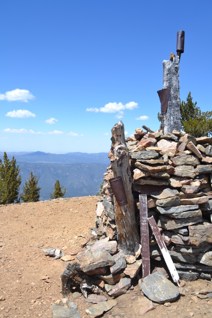
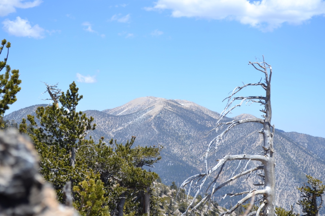
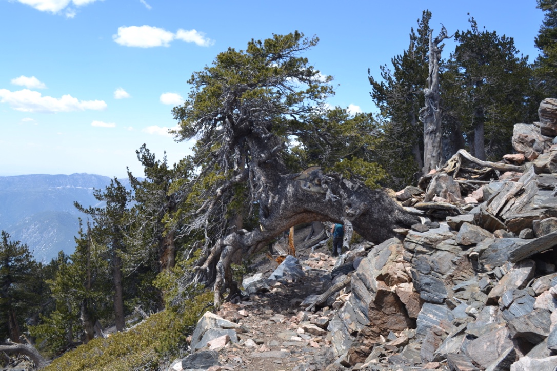
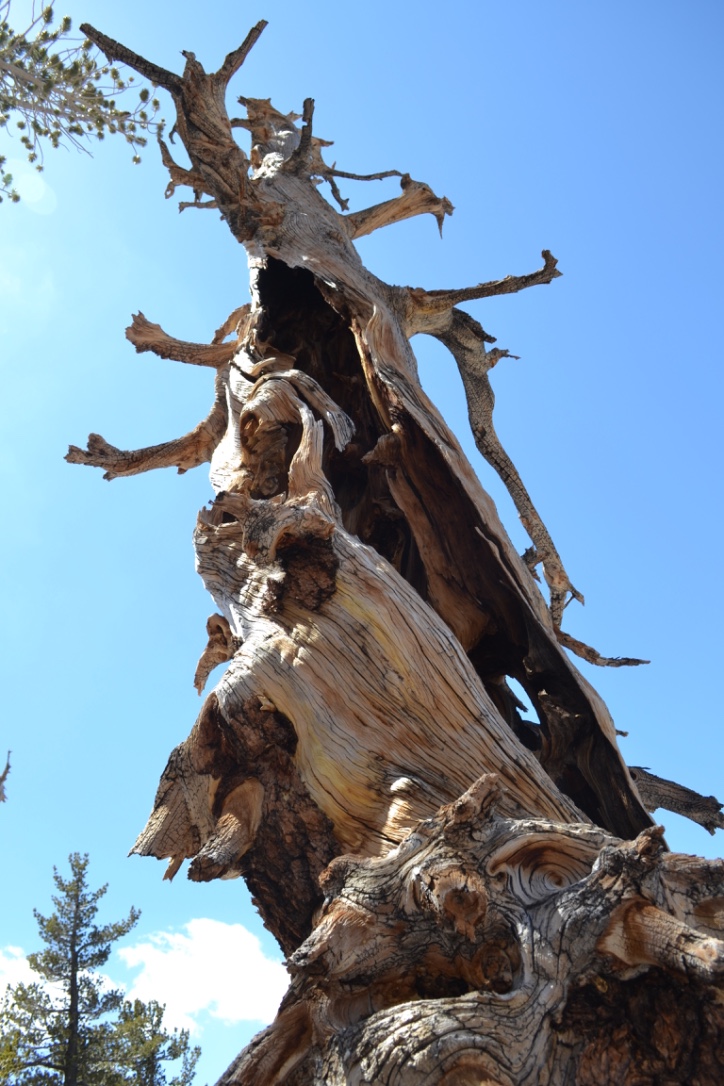
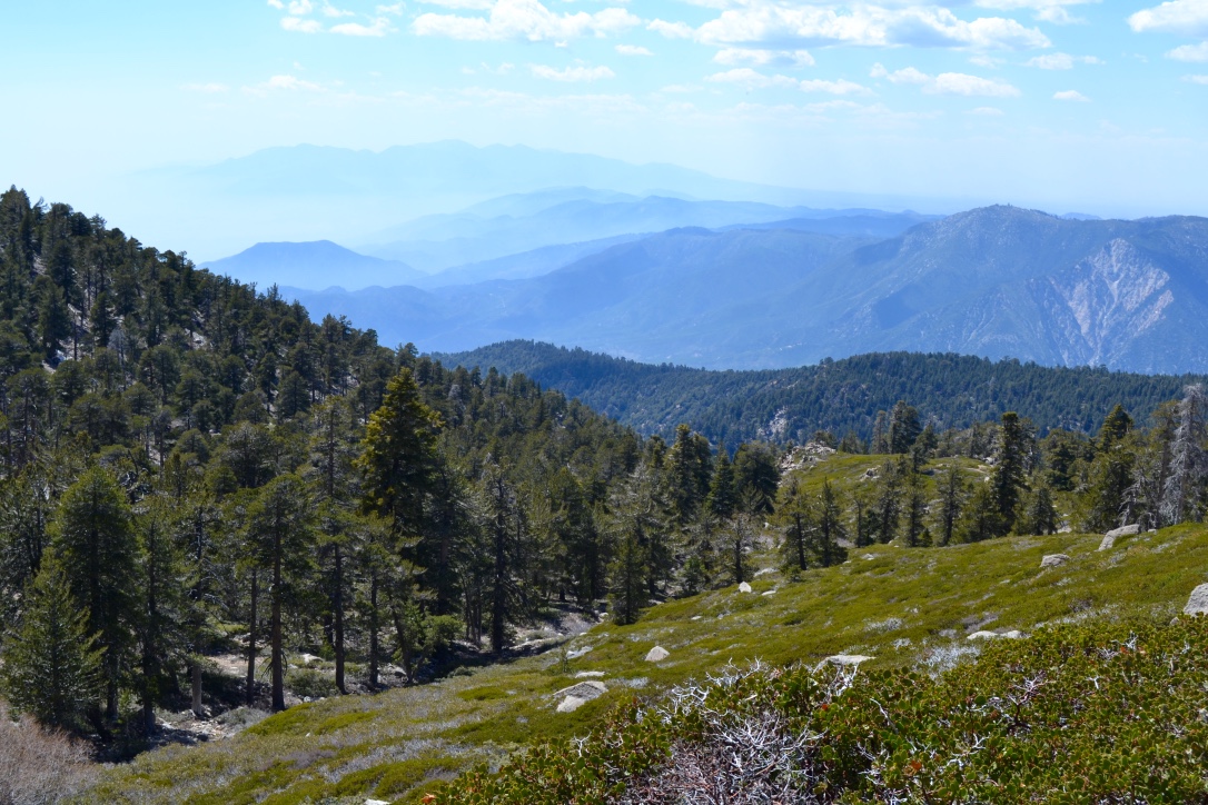
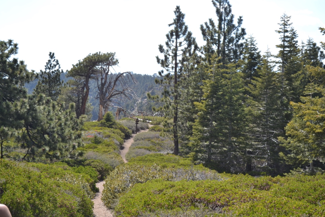
San Bernardino Peak is the 3rd highest of Southern California’s “6 pack of peaks”, standing at 10,649’. It’s one of the toughest day hikes you can find at nearly 16 miles round trip and 4700’ of elevation gain. You’ll be hiking on this trail for the better part of a day! However, you will be rewarded with beautiful vistas, forests and manzanitas, and a summit view of the surrounding mountains.
Several campsite options along the trail make for excellent overnight backpacking opportunities. The peak trail also connects to several trails on San Gorgonio, including the route to the summit. Just make sure to have the appropriate permit!
Season
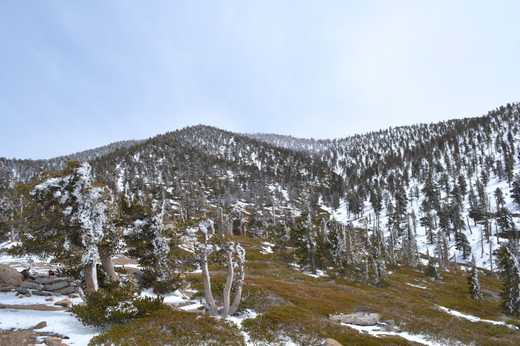
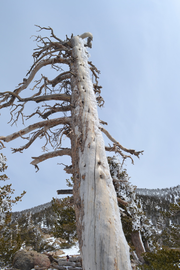
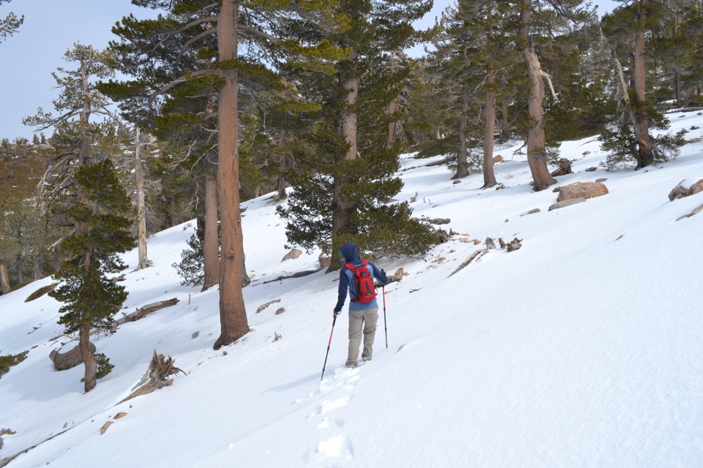
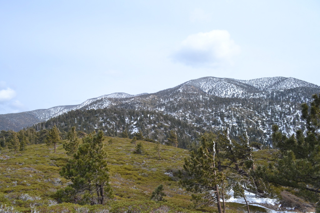
This peak is popular in the summer months but is often overlooked due to its taller neighbor, San Gorgonio. The trail may also be hiked/skied in the winter - see photos at the end of the album below for some example trail conditions!
Depending on the year, snow may be present at higher elevations in the spring and fall. The Wilderness Association forum is a great resource to check recent trail conditions (see link section).
There are currently fire closure areas in San Gorgonio/Bernardino Wilderness. More information available at the links provided.
Permit
A permit is required for both day and overnight hikes on the San Bernardino Peak trail. Permit applications are accepted up to 90 days in advance. Although quotas are strict for overnight campsites, walk-up permits for day hikes are almost always available for San Bernardino. This makes it a great backup hike if you are trying to get one of the limited walk-up permits for San Gorgonio.
Permits can be picked up from the Mill Creek Ranger station on the way to the trailhead. I would recommend calling the ranger station or checking the website to confirm quotas prior to your trip (especially if it’s a far drive like it was for me!).
Suggested maps:
getting there
Take CA-38E (just off the I-10) to Mill Creek Visitor Center on the right, just after Bryant Street. After picking up permits continue on CA-38E for 11 miles to the town of Angelus Oaks. Just before the fire station, turn right and then immediately left to continue in front of the fire station onto the Frontage Rd. Take the first right past the fire station onto Upper Rd. Take the first right once again and continue down the gravel road to reach the trailhead parking lot.
When this post was written an Adventure Pass was not required to park in the lot, however it is worth checking at the Visitor Center. Make sure to carry your permit with you on the hike.
Updated March 2017
What to Pack
Carry your standard day hiking gear and make sure to include:
- Plenty of water and/or filter
- Plenty of food too!
- Trail map of the area
- Sun protection
Useful Links
Similar Trips
- Coming soon!
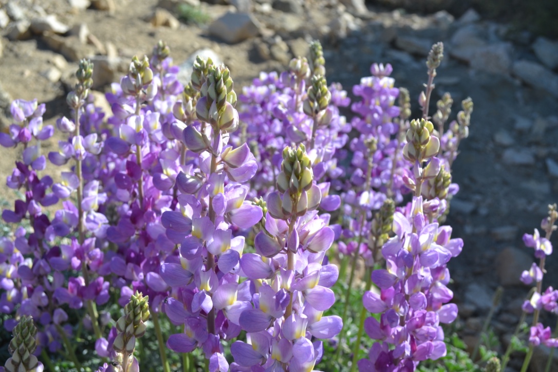
Photo gallery
Click the thumbnails to enlarge. Scroll through the gallery using keyboard or mouse.


Comments